Being based in Big Arm we are in outdoor recreation heaven, literally surrounded by multiple National Forests (Kootenai, Lolo, Bitterroot, Flathead) and of course to the Northeast the crown jewel, Glacier NP. Suffice to say our inner-explorer requires us to see as much of all this as possible which left Lolo and Bitterroot on the table.
With the Labor Day Weekend weather forecast in Bitterroot’s favor, we chose to hike Bass Creek Trail which conveniently had a couple of campgrounds close to the trailhead.

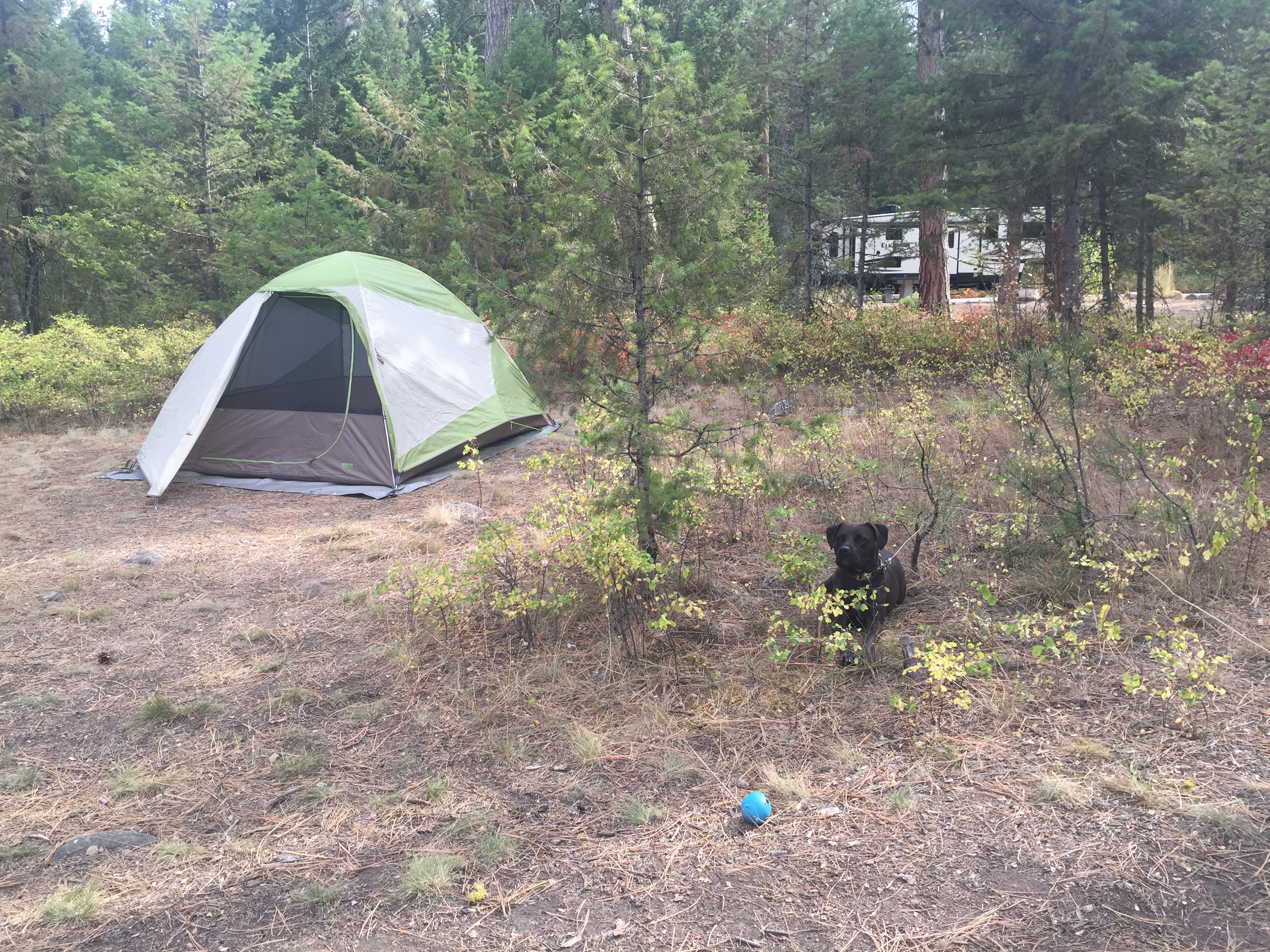
We arrived at Charles Waters campground around 4 on Friday afternoon half expecting it to be full when we found two remaining sites available – that never happens! Luckily we didn’t arrive any later than we did; over the next few hours we witnessed multiple vehicles with optimistic looking occupants circle around looking for sites only to have their hopes dashed as none were available. Been there.
With our site secure, we settled in and set up shop.
As usual we had an enjoyable evening stargazing by the campfire before calling it a night.
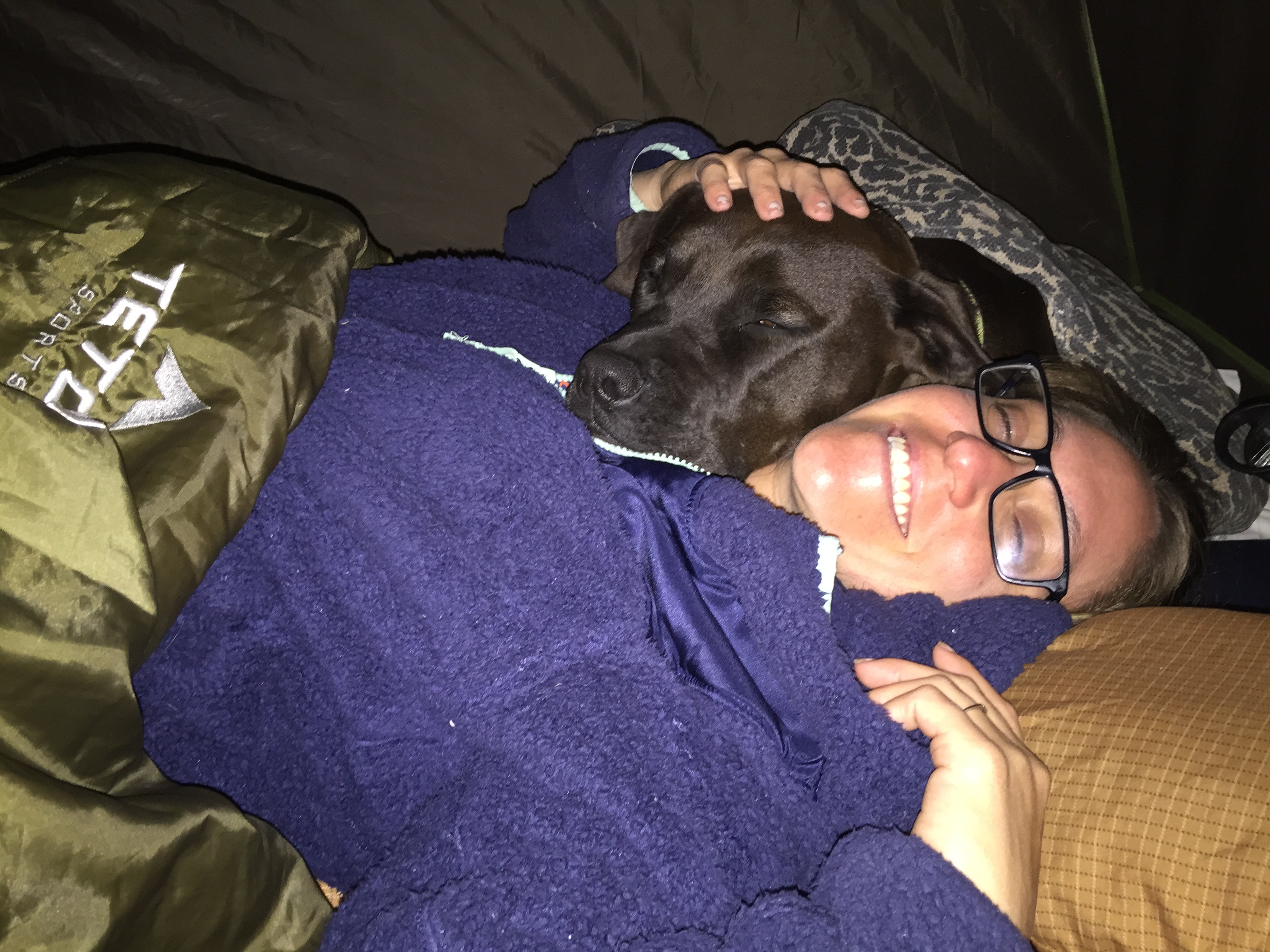
Not sure who was happier about being able to cuddle in bed together, Amy or Chica.
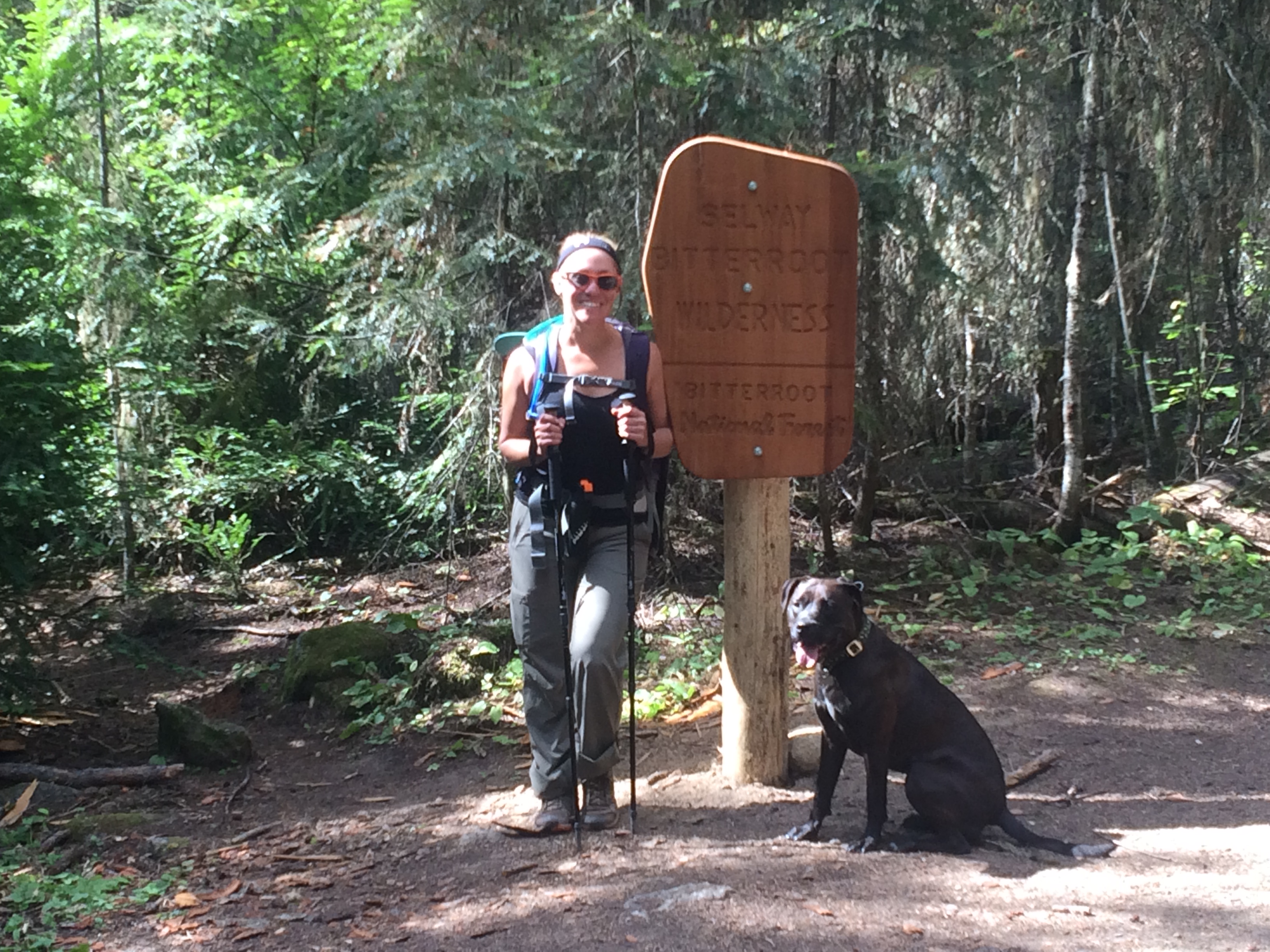
Bass Creek Trail
We slept in a bit the next morning and took our time with breakfast anticipating a relatively easy hike of about 7.5 miles round trip with 1,200 ft of elevation (about a 5 hour hike).
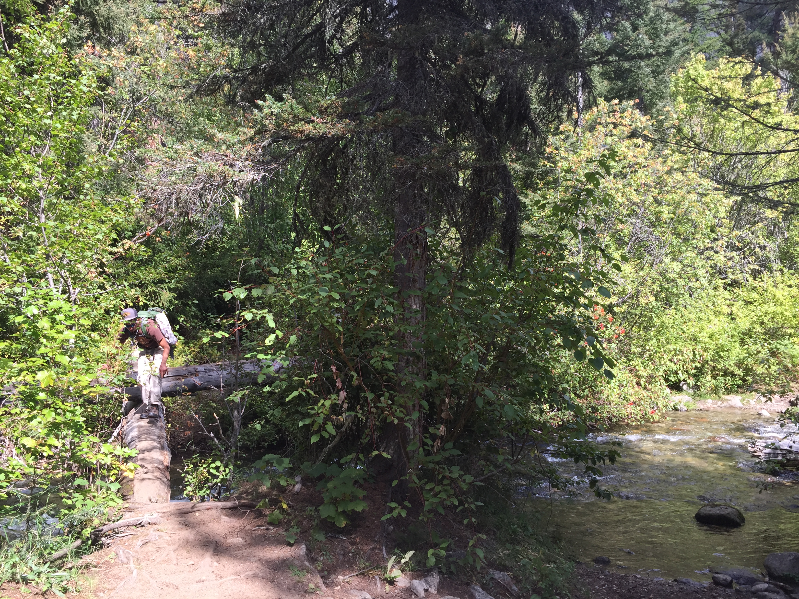
As we started, it became obvious that this would not be a cake walk. The elevation was continuous and the first obstacle brought back memories of the Kootenai hike where I clumsily fell off a log into the river.
Well, no one fell on this day!
Once we hit the fork in the trail (one leading to the falls and the other to the lake) we decided to stick with the main trail to the lake.
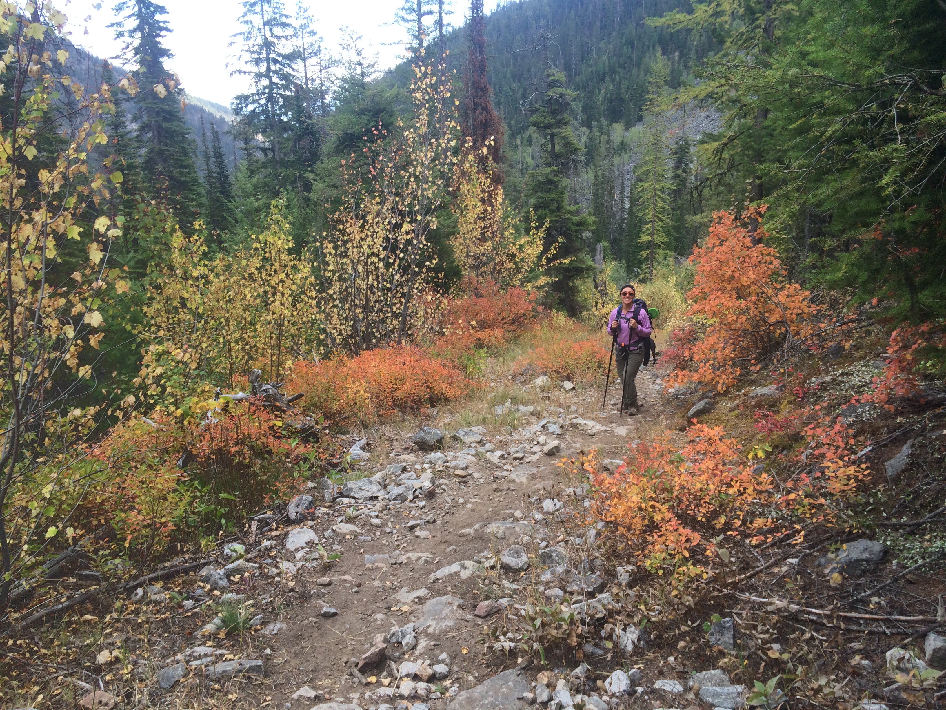
The hike’s jagged topography was gorgeous!
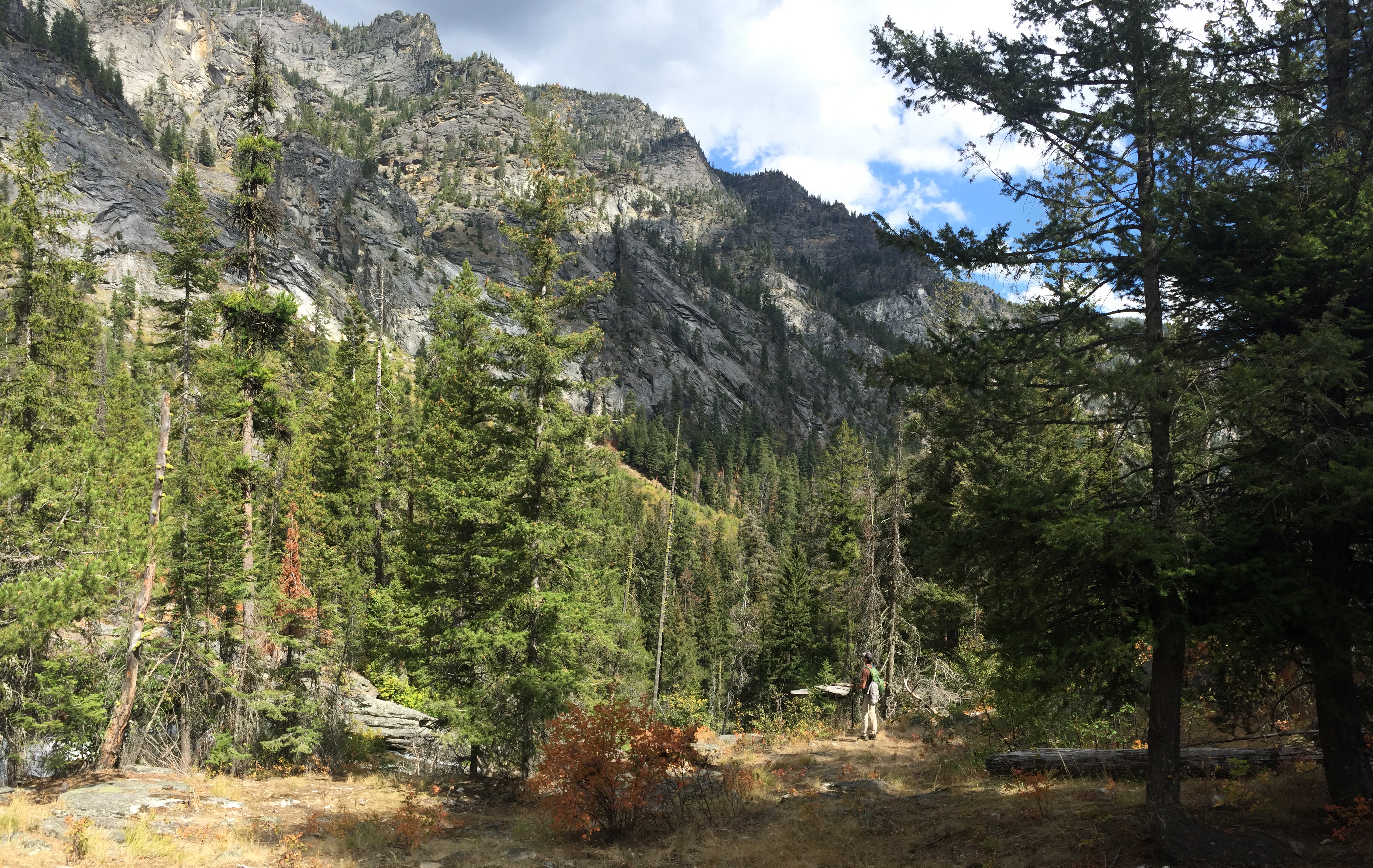
Arriving at our second crossing, the options were to navigate a VERY slim log cross or to simply walk through it. Remembering again the spill I took last time, we decided to walk across.


The water left our feet frozen by the time we reached the other side, but I must say our feet felt completely rejuvenated – once we could feel them again.
We continued along the trail for awhile longer and realized about 4 miles in that we were somehow only half way to our destination. A 16 mile round trip hike with thousands of extra feet in elevation was not in the cards and we decided to head back.
(After reading reviews on multiple sites, the hike length and elevation guidance on All Trails was grossly underestimated)
We had an enjoyable evening back at camp and headed home Sunday for some homemade Sushi.